
Photos by MJ Klein
Today I wanted to further explore an area that I had visited about a week ago on the Sinfong (Hsinfong) coast.
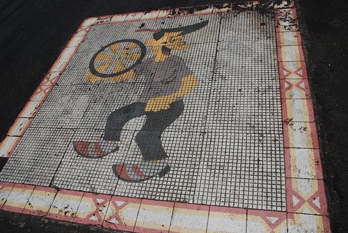
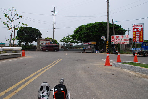
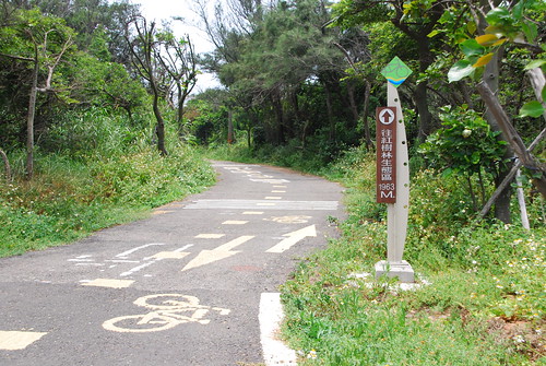
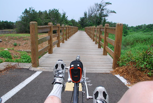
In Taiwan, this is the symbol for a bicycle trail. When you see this symbol either embedded in the road surface such as this, or on a signpost, you know you’re on a bike trail. I’ve geotagged this article at the beginning of this “Bike Path” as it’s called on the tourist information sign.
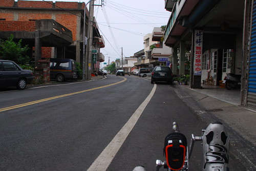
At the bike path sign, the road takes a lazy turn and things seem to slow down a bit.
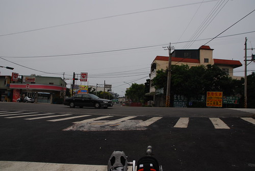
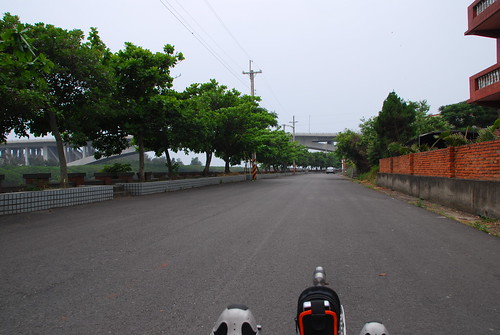
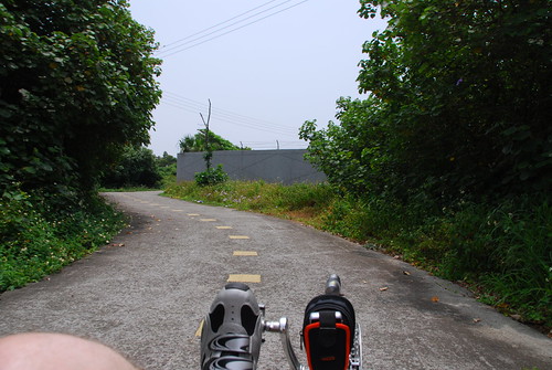
In this shot I’ve come to Highway 15 along the coast of Taiwan, and I’m about to cross (notice the bike trail sign).
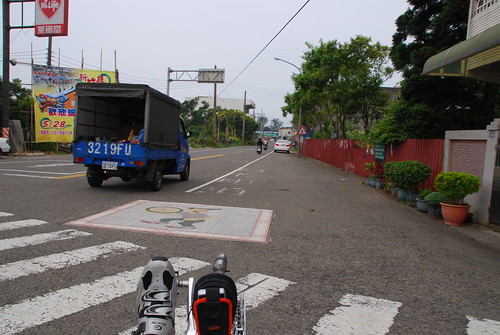
Now I’ve crossed Route 15 and I’m heading to see where the bike path leads.
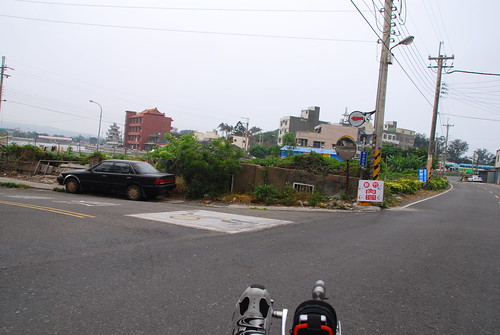
You have to look carefully in this photo, but the bike trail sign is on the concrete pole. I’m turning left to follow it.

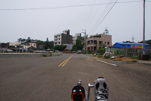
In the above shots I’m traveling West basically, with a slight turn to the South just now. I’m approaching a famous large temple that appears on the map page for this article.
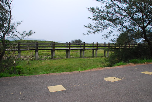
There is a large body of water to my left, like a lake.
I heard someone beating what sounded like a drum in the distance….

This is the lake, but I doubt that it’s an actual lake because of it’s proximity to the ocean. More than likely this pool is fed from a canal leading to the ocean.

I did hear someone beating a drum! 2 dragon boats were practicing in this pool. This is where the Hsinchu county Dragon Festival races will take place on Thursday May 28, 2009.
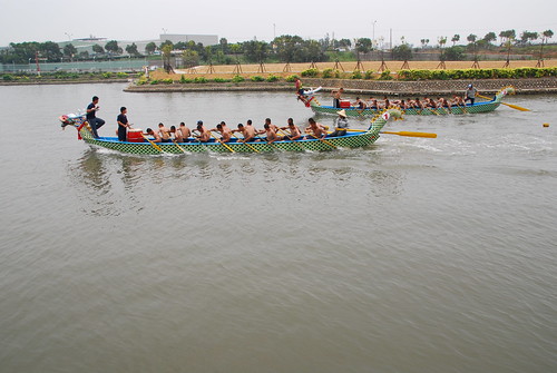
It wasn’t even a close victory. One boat clearly beat out the other one.
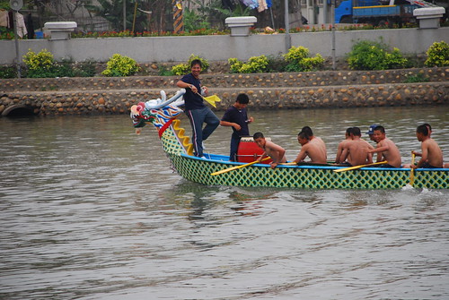
All smiles from the guy who got the flag!
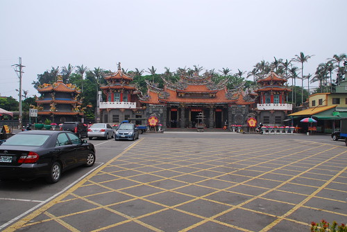
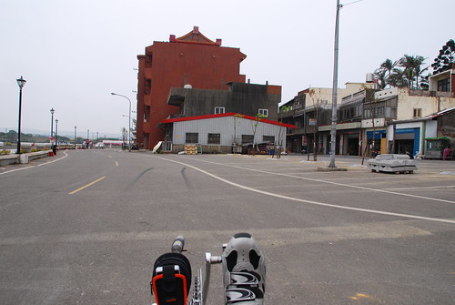
This is a shot of the temple, taken just past where I saw the dragon boats.
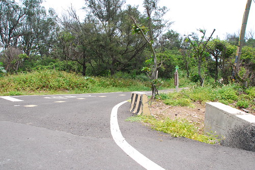
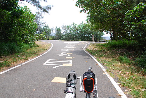
I continue SW to a turn where the road/bike trail heads to the coast.
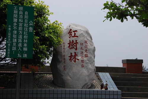
This area has the “red tree” that is supposed to be good for the environment. I didn’t see any of those trees though. Clicking on the above link takes one to the Sinfong town website, where navigation links on the side introduce this area to readers (in Chinese).
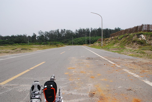
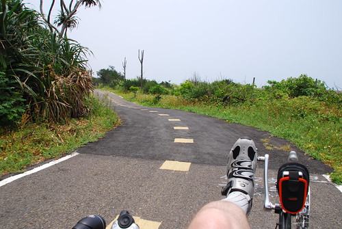
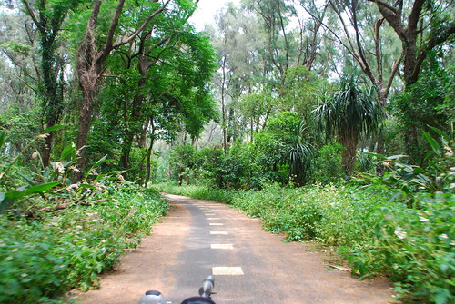
Heading almost due West on the bike trail….
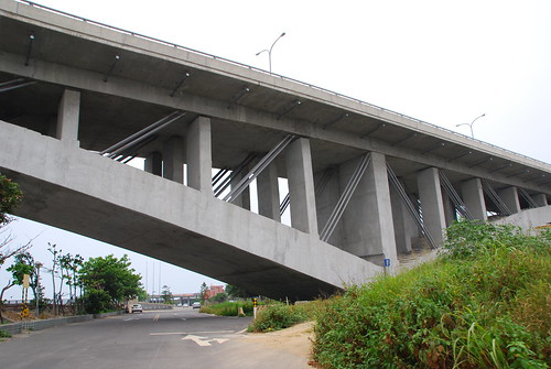
We pass under the new Highway 61 overpass.
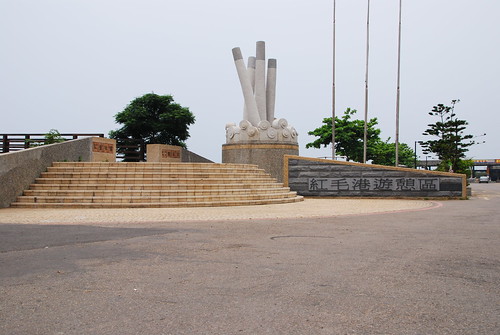
I thought the sculpture looked a lot like cigarettes stuffed in an ashtray.

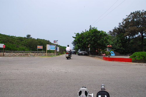
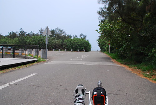
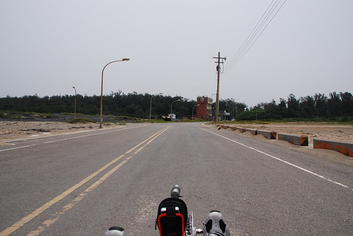
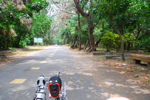
Anyway, we pass the police station and take a subtle “S” curve, and we’re on our way up to the coast, which isn’t very far away now. One can feel the ocean breeze and smell the salt water.
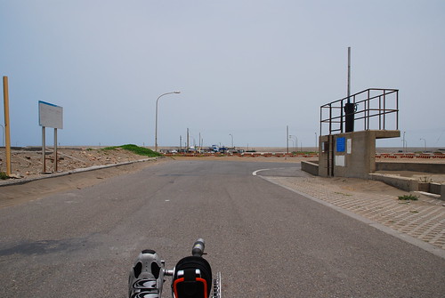
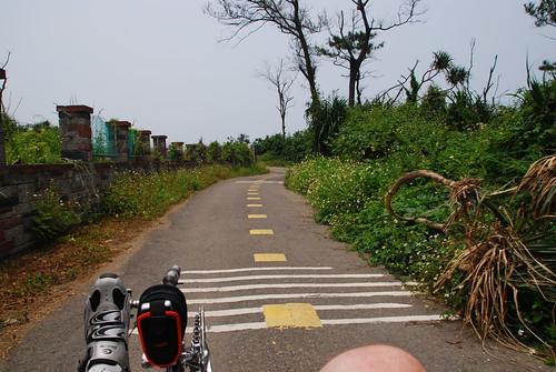
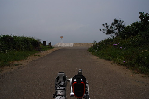
Here is another bike trail sign, and this marks the begining of the coast road.
There is an elevated walkway next to the road/bike trail but I didn’t check it out.
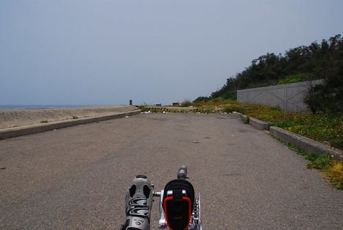
The actual bike trail goes off to the right, but I passed it so I could check out the road that runs beside the Straight.

Looking to the left, this is the parking lot. I bet this place is packed on weekends!
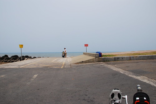
This is the end of the line….

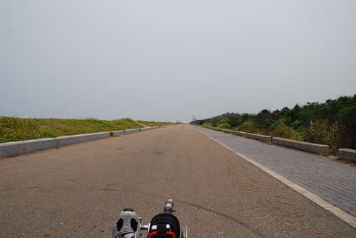
I turned right and headed North along the coastal road. This road is not marked as a bike trail. There are a couple of shelters along this road, so you could bring your family here for a cookout.
This place reminds me of Yong An a little.

I went past this coastal radar station.

On the right I saw some kind of a water control gate.
Finally I reached a turn on the road. After this right turn, the road takes a left and then I took another left in a big U turn to go close to the water.
Now I’ve taken the right and I’m heading East. I’m about to do the big U turn.

I’ve made the big U turn and now I’m heading West, back down to the water.
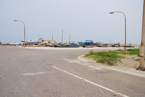
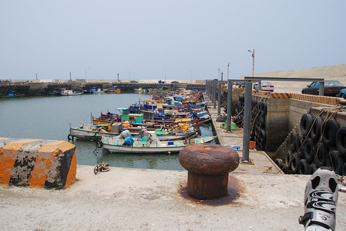
This is a small harbor.
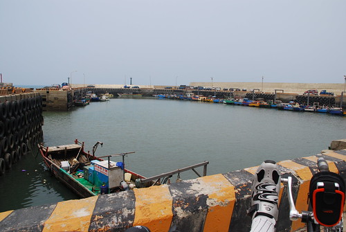
One good thing about riding a trike, is that I take my lounge chair with me everywhere I go! I can just sit and take photos (of course my feet are in many of them). This is the SE corner of the harbor.
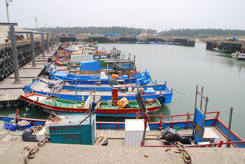
I rode a bit further to the NE corner and shot this one. Now I’m going to the opposite side of the harbor and take a shot….
Here I am looking back on the area where I came from. I used maximum wide-angle on this shot (as I did for most of the shots taken from the trike) so you can see just how close I am to the edge of the concrete wall at the bottom of the photo (the chains go over the edge).
Having seen the harbor and taken my photographs for the blog, it was now time to go back and find the bike trail and ride that.
The bike trail runs parallel to the coastal road, so I pedaled over on one of the small side roads until I found it.
This is the entrance where I got on the bike trail. I’m facing South and I’m going to head back towards the parking lot that I showed you before I got on the coastal road.

This is the coolest bike trail I have ever seen! It’s more like a go-kart track than a bicycle trail. Just take a look at all the small hills and sharp turns! With the speed of the trike, this was pure fun!


I reached the South end of the trail and turned around.

This shot of the cockpit shows that I was drinking sports drinks today, and not water.
Heading North on the trail, I went past the point where I got on the trail and found this bridge. This bridge crosses the channel at that water control gate I mentioned earlier.
This side of the trail is overgrown. That actually made the trail seem narrower and even more fun to ride.
I came to this area with benches to sit (and do nothing).
The bike trail took an abrupt left turn, and now I’m heading towards the coastal road again, but this time I’m farther north of the harbor I just visited.
This is the coastal road, and I’m going to turn right.
Disappointment set in when I found that this road dead-ended up ahead.
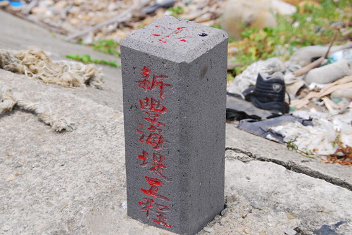
The rectangular structure sticking up from the seawall on the left side of the dead-end in the above shot, is a construction marker for the seawall.
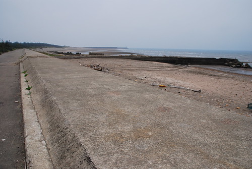
To the far right is the remains of a jetty that used to be here. It’s clearly shown on my GPS map but it’s since washed away. The GPS calls this a boat ramp but as you can see, there is no way to launch a boat here. In the distance is the harbor that I photographed earlier.
For those of you who enjoy looking at maps, you may put these coordinates into Google Maps and see some of the features in this article. Just copy and paste them into the map search field:
- Bike Path sign at the beginning of this article: 24 54.675 120 58.865
- Temple: 24 54.619 120 58.600
- Bike Path sign at the beginning of the coastal road: 24 54.650 120 58.193
- Small harbor where I took the photograph near the edge of the wall: 24 55.666 120 58.262
- Dead End: 24 55.972 120 58.883
Ride Statistics:
- Distance: 31.0 KM
- Max Speed: 37.5 KPH
- Total Time (including picking up food for lunch): 03:24
- Average Moving Speed: 13.9 KPH
Thanks for reading! Please leave us your comments and a rating below!
Nice looking ride. Parts of it remind me of the northern part of Changhua county where I rode a lot last summer.
cfimagess last blog post..5 For Friday – Bits and Pieces
Craig, i gotta go down there and do that ride with you sometime. you’ve told me about it, and it sounds inspiring! is that the place that has the 60 or so KM of flat road? thanks.
Anti-smoking sculpture?
Todds last blog post..Daily Photo – Possibly Abandoned
Todd, that’s as good an explanation as any!